20200202-River_Mountains_exploratory_to_Peak_2480
page 5 of 6
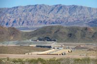
51-zoom_view_of_new_low_level_pumping_station.jpg
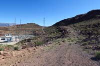
52-continue_up_road,then_right_of_fence,up_powerline_road_to_continue.jpg
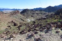
53-at_powerline,continue_down_slope_to_another_drainage.jpg
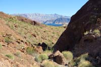
54-scenic_drainage,but_hard_to_picture_due_to_light_and_shadows.jpg
55-scenic_drainage,but_hard_to_picture_due_to_light_and_shadows.jpg
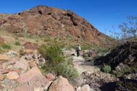
56-we_had_gone_right_which_is_not_good,go_left_which_is_much_prettier_and_avoids_water_district_land.jpg
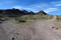
57-road_sign_we_walked_until_junction.jpg
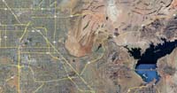
58-Google_Earth-region.jpg
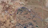
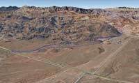
59-Google_Earth-hike1.jpg
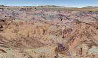
60-Google_Earth-hike2.jpg
61-Google_Earth-hike3.jpg
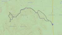
62-topo.jpg