| 20141219-Ann_Road_Peak | Return to http://www.kcmeyer.com |
| page 1 of 4 |
 |
 |
 |
 |
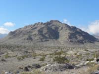
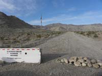
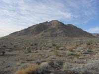
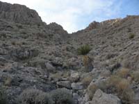
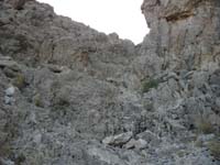
| 01-peak_from_Hwy... | 02-drove_half_mi... | 03-peak-heading_... | 04-heading_up_th... |
 |
 |
 |
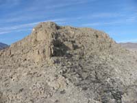 |
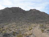
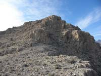
| 05-heading_up-tu... | 06-scrambled_up_... | 07-view_to_lower... | 08-I_visited_all... |
Ann_Road_Peak-20141219.gpx - import into Google Earth